For more than 100 years, New York has been home to one of the world's best-kept conservation secrets. At 6 million acres, the Adirondack Park is the largest protected area in the contiguous United States. It is roughly the size of Vermont, yet is unknown to most Americans.
The Adirondack Park contains one of the largest concentrations of protected temperate forest anywhere in the world. Home to wildlife such as moose, black bears and bobcats, temperate forests are characterized by four well-defined seasons—especially winter—and a mix of broad-leaved and conifer trees. Dominant tree species in the Adirondacks include sugar maple, beech, eastern hemlock and red spruce.
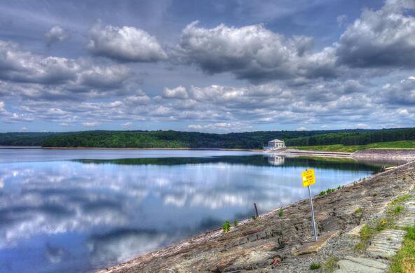
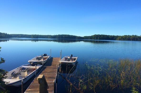
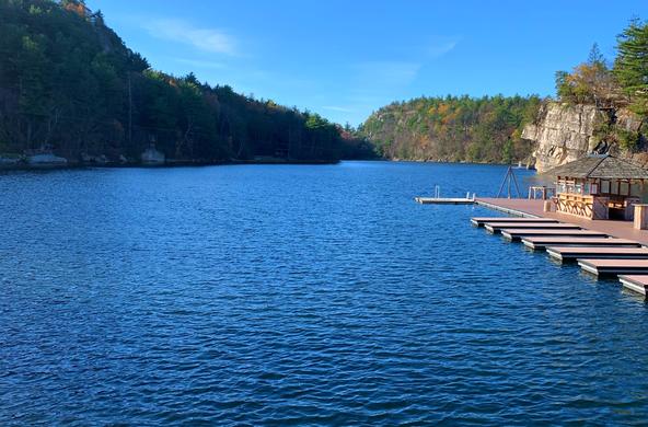
While 90 percent of the park is covered in forests, it is also home to thousands of lakes. They come in all shapes and sizes, and vary enormously in their chemistry and ecology—including their sensitivity to acid rain and other forms of pollution.
For the past decade, Cary Institute scientists have been trying to explain this striking diversity. By and large, the answers lie in the nature of the watershed that surrounds each lake.
Ten years ago, Cary Institute scientists developed a new approach to studying how watersheds influenced lakes. There was only one problem: the method required sampling hundreds of lakes for comparison. Initially, field assistants hiked into remote sites with kayaks to obtain water samples. But this method was incredibly slow. The solution came in the form of a unique airplane known as the Air-Cam.
Built by Ed McNeil, an engineer, pilot and ardent Adirondack conservationist, Air-Cam was originally designed for photographic work in Africa. When McNeil retrofitted the plane with floats so it could land on water, it became the perfect tool for sampling remote Adirondack lakes.
Our research focuses on three types of land within a watershed: wetlands, upland forests and areas of human development, particularly along lake shores. Each plays a role in determining the chemistry and ecology of the lakes they surround. There has been a great deal of research on how shoreline development affects lakes. I will focus on how wetlands and upland forests shape the thousands of undeveloped lakes within the park.
Over the past decade, Adirondack Park Agency staff have mapped and classified all the wetlands in the park. Wetlands cover an estimated 10 percent of the park, but have a disproportionate influence on the chemistry and ecology of lakes and streams. They are extremely diverse, ranging from floating bogs studded with pitcher plants, to vast conifer swamps thick with ferns.
On the one hand, wetlands surrounding lakes and streams act as buffers that filter out certain nutrients and pollutants. They are also important sites for denitrification—the process whereby nitrate pollution in groundwater is transformed into nitrogen gas and released to the atmosphere, preventing nitrate from reaching the lakes and contributing to algal blooms.
But wetlands don't remove all watershed inputs. Because organic matter decomposes slowly in many wetlands, water flowing out of them typically contains high concentrations of dissolved organic matter.
This is essentially decomposing material from the forest floor—leaves, twigs, etc.—that gives northern lakes their classic brown tea color and smell. It also forms the base of the aquatic food web. Cary Institute researchers have shown in northern lakes, a high percentage of the biomass of fish is derived from the rotting leaves of forest and wetland plants.
Unfortunately, dissolved organic matter can also be high in mercury, a pollutant accumulating in fish and animals that feed on fish, such as loons, otters, eagles and humans. Mercury is deposited in wetlands through air pollution; the low-oxygen conditions common in wetlands transform the mercury into a biologically active and toxic form. It then binds to dissolved organic matter and is carried into lakes, where it is incorporated in the food web.
It was long assumed nutrients flowing from forests in the upper reaches of a watershed would be lost before they reached a lake or stream. The most striking result of our research has been to show this is not generally true.
Our analyses, based on hundreds of lake samples taken with Air-Cam, as well as analyses of samples collected during the 1980s by the Adirondack Lakes Survey Corporation, show that acre for acre, the distant reaches of a watershed can contribute as much in the way of nutrients and pollutants as the forests and wetlands that fringe a lake.
Thus, the entire watershed must be taken into account when trying to understand the ecology and chemistry of an Adirondack lake. For park managers and landowners, actions taken anywhere in the watershed can have ramificationsprotecting shorelines alone is not sufficient. Continued Cary Institute research into connections between Adirondack watersheds and lakes will help inform sound management of this valuable shared resource.


